FORGOTTEN WORLD HIGHWAY | WHANGAMOMONA | NZ
The Forgotten World Highway (Highway 43) is a road and rail line that runs through the hills and backcountry of Taranaki, then into the central plateau of New Zealand's North Island. At the western end is the perfect snowy cone of Mt Taranaki, and in the east are the mountains of Mt Ruapehu, Mt Ngauruhoe and Mt Tongariro. If you are driving (on sealed roads) the highway connects Stratford (West) with Taumaranui (East), although you can take a more scenic and remote gravel road which starts around New Plymouth and cuts out Stratford. This is the preferred route for cyclists, possible in a car but quite rugged. There is also a disused railway that winds through the central valley and Tangarakau Gorge, which is ingeniously used by pedal powered rail carts arranged by Forgotten World Adventures.
When taking this journey you do indeed feel as if you are travelling into the world of forgotten old New Zealand; empty winding roads, dense, misty and pre-historic forests, long single lane tunnels and abandoned decaying farmhouses.

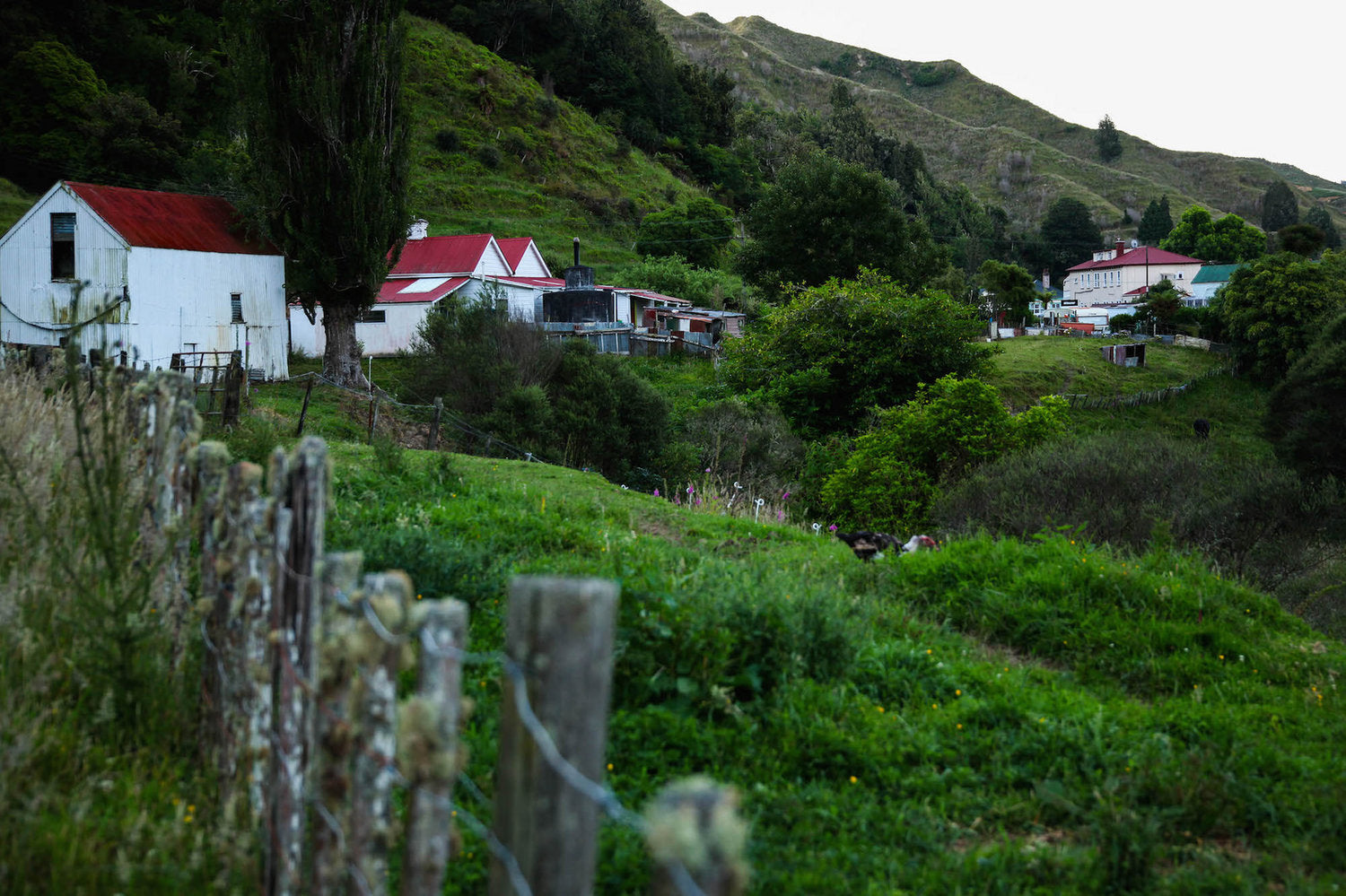
WHANGAMOMONA TOWN
One highlight is the small town of Whangamomona, which is a ramshackle village that time forgot - mostly desolate except the large old central hotel/pub where the eccentric (but friendly) locals congregate. It's the sort of place where people arrive on on horseback, riding barefoot and bareback. Make sure you go down some side streets as you will find rustic old houses, roaming animals and strange junk sculptures.
Back in the late 1980s, when the Taranaki and Manawatu-Whanganui districts changed their boundaries, Whangamomona decided to declare itself an 'independent republic', so you can now pick up a passport from the pub and get it stamped. The town also holds an 'independence day' in January which apparently involves various rural sporting activities; possum skinning, sheep racing and gumboot throwing among them. They also elect a local mayor, which for some years was a poodle called Tai.

USEFUL INFORMATION ON THE FORGOTTEN WORLD HIGHWAY
Excluding detours, The Forgotten World Highway is 185km if you take the cycle route from New Plymouth to Taumaranui, or around 150km on the sealed road from Stratford. There is about 15km of unsealed road between Whangamomona and Taumaranui. If driving, make sure you leave Stratford or Taumaranui with a full tank of petrol as there is nowhere to get it along the way.
If you want more advice on cycling the road check out The NZ Cycle Trail guide. The trip takes 2-3 days and as it is quite hilly. Even though it is all on the road, the route is considered a difficult grade 4 ride. There aren't any shops along the way and little cellphone coverage so come prepared.
The Curious Kiwi gives a fairly detailed description with lots of photos of driving the road in a car. Lots of practical advice as well, which you can read here. They did the drive in 7 hours, which included plenty of stops.
 Places to stay include the Whangamomona Hotel, which even if you don't stay the night there you should visit anyway - for a drink, meal and/or to collect a passport. There is also a fairly rustic campground in the town. There is also apparently accommodation at the Purangi Schoolhouse, although there doesn't seem to be much information online about this place.


Leave a comment